
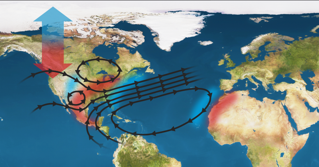
In the past decade, more people have been negatively impacted by hydroclimatic disasters (droughts and floods) than all other forms of natural disasters combined. The impacts of hydroclimatic disasters are getting worse: every decade since the sixties has brought an increase in the frequency, intensity, and total cost of damages associated with extreme hydrologic events. The Climate Hazards Research Team, Syracuse (CHaRTS) uses tools from modern data science and proxy observations of the hydrologic cycle from satellites, photographs, and earth systems models to support fair and stable management of water resources and hydroclimatic risk in the twenty-first century.
Hydrologic remote sensing: measuring water cycle components over space and time using image based proxy data. Learn more here and here.
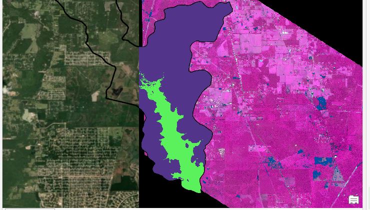
Disaster informatics: using data from the environmental IoT and satellite remote sensing to detect impacts of floods and droughts in near real-time for improved response and mitigation. Learn more here and here.
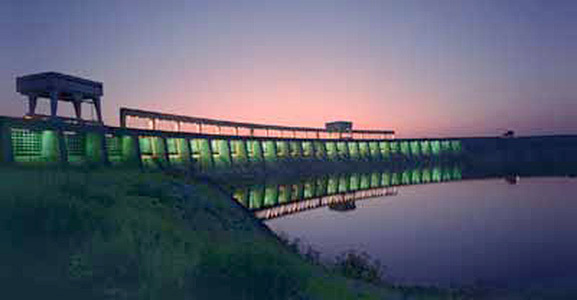
Water resources management: using big data to characterize hydrologic non-stationarity for improved design and management of dams, levees, spillways, sewers, and distribution systems in order to increase sustainability and equity in the engineered hydrosphere. Learn more here and here.